From the WaPo's Capitol Weather Gang:
A week of storms lined up for California as El Niño takes the wheel

A series of low pressure systems will bring
steady rain to California this week — possibly up to
6 inches in the Los
Angeles and San Diego areas through Saturday, Jan. 9.
(tropicaltidbits.com)
The new year is getting off on the right foot in drought-stricken California, where rain is the forecast every day this week. With a train of storms lined up across the Pacific Ocean, there are signs that El Niño is beginning to dominate the West’s weather pattern.
California had an okay month for precipitation in December — far more than the state has seen in recent years, but still below average. The mountains saw some of the best early winter snowfall they’ve seen in five years. Current snow depth on the peaks of the Sierra Mountains is over 100 inches, and snow pack is at or even above average.
But for the rest of the state, December ended with around half as much precipitation as it gets in an average year. Sacramento got just half of its average December rain, and northern Central Valley areas saw much less than that. Los Angeles ended the month with just 0.57 inches of rain — more than 1 ½ inches below average.
As we start 2016, most of #NorCal remains drier than normal since Oct 1. #ElNino plays larger role Jan-Mar #cawx pic.twitter.com/ix3eWU1t4F
— NWS Sacramento (@NWSSacramento) January 2, 2016
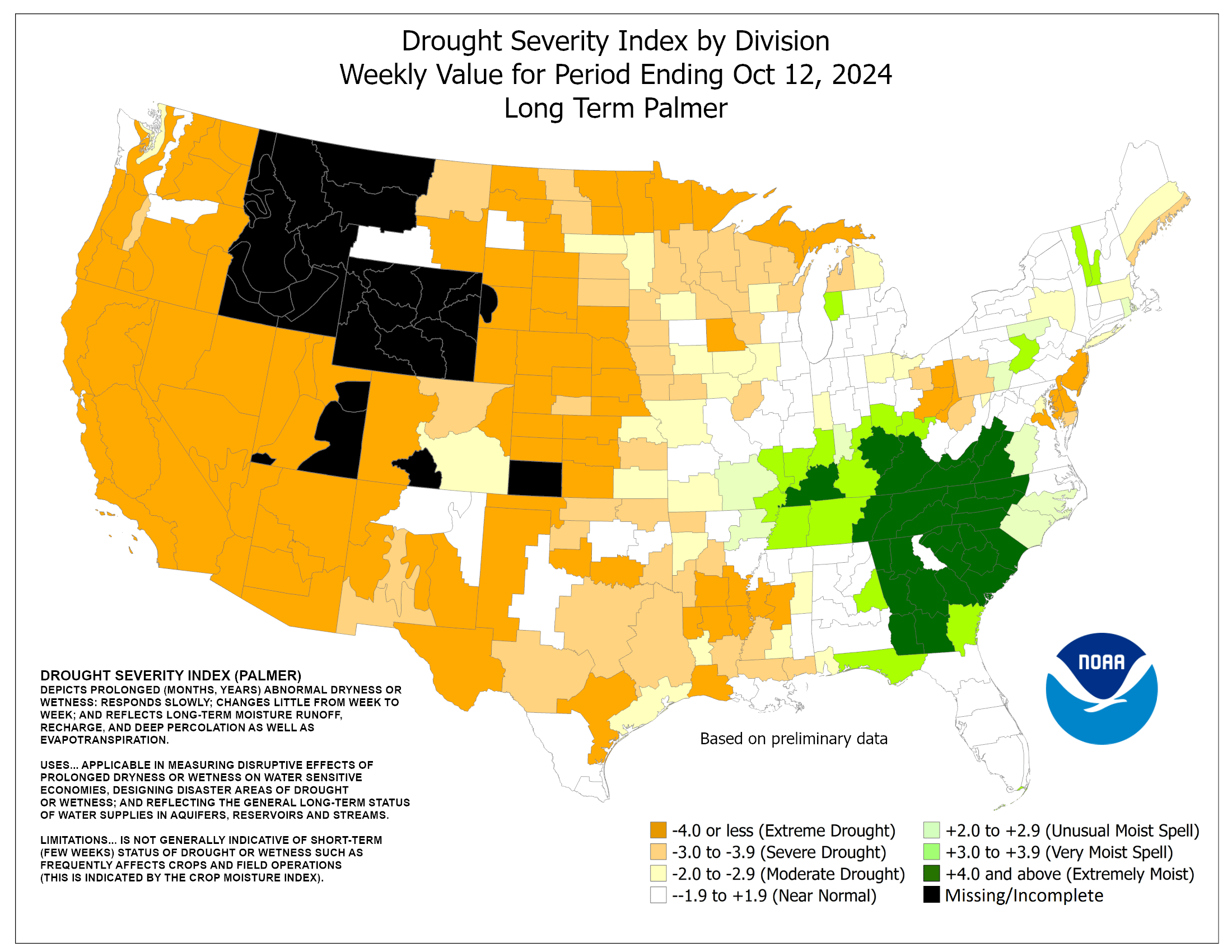
The paltry December rainfall totals may come as a surprise since it’s an El Niño year, which is “supposed” to be a rainy boom for the West Coast. However, El Niño’s strongest influence doesn’t really kick in until January, when winter arrives in earnest. ...MUCH MOREThere is a large discrepancy between the two main measures of drought severity. Here's the one folks are most familiar with, the U.S. Drought Monitor:


We'll have more on the differences in a couple weeks.