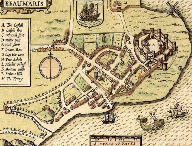
John Speed (1610), 17th century map of Beaumaris. Available on Wiki Commons.
Only three of the 20 largest cities in Britain are located near the site of Roman towns, compared with 16 in France. That is one of the findings of research by Guy Michaels (London School of Economics) and Ferdinand Rauch (University of Oxford), which uses the contrasting experiences of British and French cities after the fall of the Roman Empire as a natural experiment to explore the impact of history on economic geography – and what leads cities to get stuck in undesirable locations, a big issue for modern urban planners.....MUCH MORE
The study, published in the February 2018 issue of the Economic Journal, notes that in France, post-Roman urban life became a shadow of its former self, but in Britain it completely disappeared. As a result, medieval towns in France were much more likely to be located near Roman towns than their British counterparts. But many of these places were obsolete because the best locations in Roman times weren’t the same as in the Middle Ages, when access to water transport was key.
The world is rapidly urbanising, but some of its growing cities seem to be misplaced. Their locations are hampered by poor access to world markets, shortages of water or vulnerability to flooding, earthquakes, volcanoes and other natural disasters. This outcome – cities stuck in the wrong places – has potentially dire economic and social consequences....
I'm wondering if the study was funded by either a large moving & storage company or civil engineers angling for a (big) project or two,
I went to look for the published paper but there has been a change of ownership of Economic Journal, so here's the version at one of the author's personal LSE sites
Resetting the Urban Network: 117-2012’ by Guy Michaels and Ferdinand Rauch
Older version at SSRN:
https://papers.ssrn.com/sol3/papers.cfm?abstract_id=2359539