From map geek Szymon Pifczyk (PwC Geoanalytics):
It's 2023, 109 years after WW1 started, yet the pre-WW1 imperial borders are still visible on the election map of Poland - and on many others, for that matter.
— Szymon Pifczyk (@sheemawn) October 17, 2023
A thread 🧵🧵🧵--> pic.twitter.com/ihNOHRniaP
In some respects the division is similar to the specters of old street patterns:
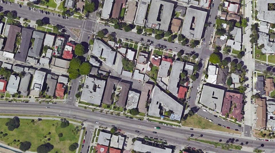
—Ghost Lanes: Angled “Scarchitecture” Reveals Historic Urban Roads & Railways,
But the sociological borderlines are actually more substantial than the merely physical lines on maps.