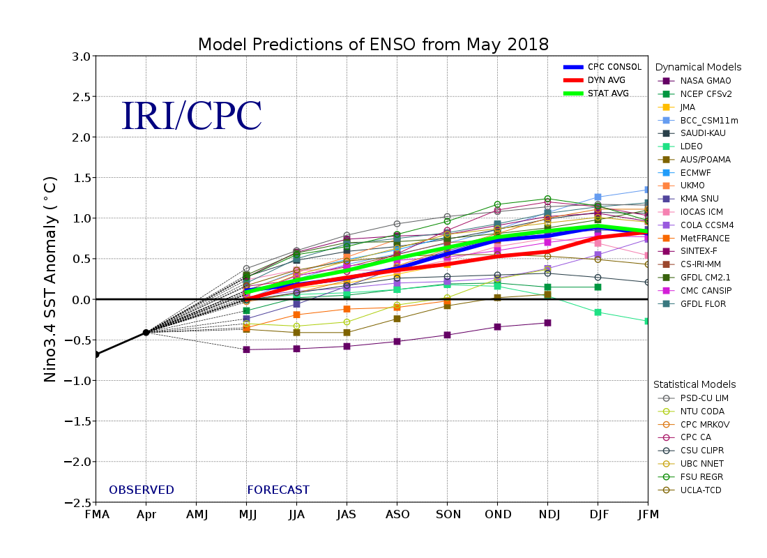
Well, with the El Niño/Southern Oscillation index back toward La Nada conditions:

We end up with this, From Artemis May 31:
The Colorado State University tropical weather forecasting team, the Tropical Storm Risks forecasters and the Weatherbell team have all toned down their forecasts for the 2018 Atlantic hurricane season, pointing to cooling of Atlantic sea surface temperatures.
As explained recently, there has been an expectation in insurance and reinsurance circles that the forecast numbers would begin to drop, due to the cooler than expected sea temperatures observed in key tropical zones of the Atlantic.
The previous April forecast from the Colorado State University team called for 14 named storms, 7 hurricanes and 3 major hurricanes.
Now the Colorado State team have lowered their forecast to 14 named storms, 6 hurricanes and 2 major hurricanes, while importantly the forecasters have also lowered their forecast for accumulated cyclone energy (ACE), which has dropped to 90 from their previous forecast which had it at 130.
The Tropical Storm Risks team has reduced its forecast from April’s 12 named storms, 6 hurricanes and 2 major hurricanes, to now only predict 9 named tropical storms, 4 hurricanes a just 1 major hurricane.
Both sets of forecasters cite anomalous cooling of the tropical Atlantic as a key reason for the reduction in the forecast numbers for hurricane activity in 2018.
The TSR team noted, “Considerable cooling of sea surface temperatures in the tropical North Atlantic and Caribbean Sea associated with a strengthened Azores high pressure system during April and May. These cooler waters are expected to persist through the summer and to be accompanied by enhanced trade winds and enhanced sea level pressures in the regions where hurricanes form. These environmental factors are all inhibiting to hurricane activity.”
While the Colorado State forecasters said, “We have decreased our forecast and now believe that 2018 will have approximately average activity. While we still do not anticipate a significant El Niño during the 2018 Atlantic hurricane season, most of the North Atlantic has continued to anomalously cool over the past two months. The eastern and central tropical Atlantic is cooler than normal at present.”
As a result the Colorado State team expect, “A near-average probability for major hurricanes making landfall along the United States coastline and in the Caribbean.”
While TSR said, “The TSR (Tropical Storm Risk) pre-season forecast for North Atlantic hurricane activity in 2018 anticipates levels 50% or more below the long-term norm.”
One difference to note in the forecasts is that Colorado State includes the pre-season sub-tropical storm Alberto within its 14 named storms, while TSR does not, with its 9 named storms being a forecast for the June 1st to November 30th season only....MORE