Friday, March 6, 2015

El Niño Is Finally Here, But Not Quite How We Expected It

This really doesn't look right.
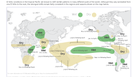
Here's this morning's Unisys Sea Surface Temperature Anomaly map:

Unisys' Sea Surface Temperature Map.
Current Sea Surface Temperature Anomaly Plot
The bulge at South America's west coast should be hot. It's not.
Here's a map we posted during the 2010 El Niño which  tipped the scales at "moderate":

Anyhoo, from io9:
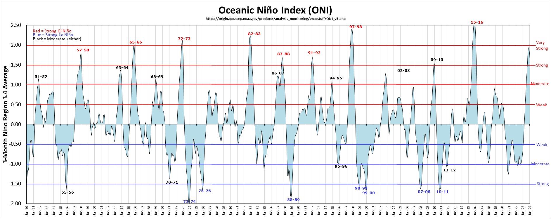
The National Oceanic and Atmospheric Administration [NOAA] has announced the long-predicted El Niño for this year has finally arrived. But it doesn't look quite like we thought it would. 


Despite last year's predictions that we could see a weather event that might rival the incredibly powerful El Niño of 17 years ago, the actual conditions we're seeing are surprisingly mild.


A Map Of Where El Niño Will Strike Around The World
It's looking more and more likely that we're going to have another El Niño year starting…
NOAA describes the system as both "weak" and unlikely to have much immediate influence. Still, with researchers predicting that El Niño hanging around through the summer, there could be a few visible effects (like some extra rain) coming down the pipeline as the season continues.  
Here's the NOAA press release:
NOAA: Elusive El Niño arrives

Previously: 
July 2014