
Here's the 12-week animation (click to view):

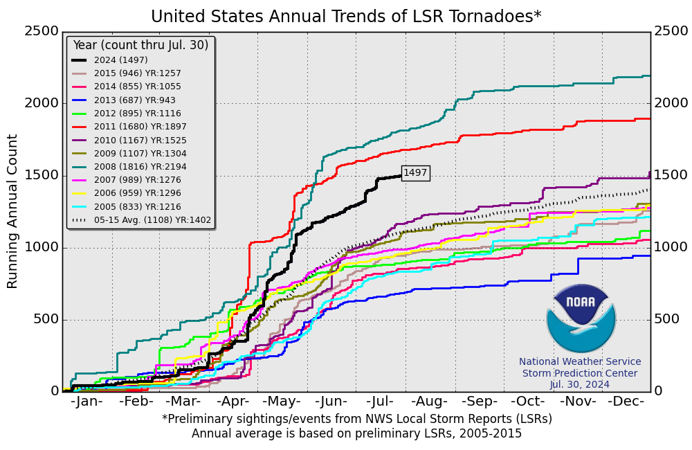
We are running at the highest rate since 2008.
The thing that connects these two disparate phenomena is the jet stream which in turn is affected by the North Atlantic Oscillation and the Arctic Oscillation along with the profound effects of the El Nino/Sourthern Oscillation.
La Niña is associated with some of the worst years of multi-year droughts in the Southwest.
With the ENSO back in the neutral (La Nada) phase, after a nasty second-in-two-years La Niña, the jet stream is running South-North in some spots. Here's NASA after a similar setup last year:
What's to Blame for Wild Weather? "La Nada"
Such sheets of fire, such bursts of horrid thunder,Ironically NASA is trying to launch five satellites to study the jet stream but is being delayed by bad weather.
Such groans of roaring wind and rain, I never
Remember to have heard; man's nature cannot carry
The affliction nor the fear … from Shakespeare's Tragedy of King Lear
June 21, 2011: Record snowfall, killer tornadoes, devastating floods: There’s no doubt about it. Since Dec. 2010, the weather in the USA has been positively wild. But why?
Some recent news reports have attributed the phenomenon to an extreme "La Niña," a band of cold water stretching across the Pacific Ocean with global repercussions for climate and weather. But NASA climatologist Bill Patzert names a different suspect: "La Nada."
"La Niña was strong in December," he says. "But back in January it pulled a disappearing act and left us with nothing – La Nada – to constrain the jet stream. Like an unruly teenager, the jet stream took advantage of the newfound freedom--and the results were disastrous."
La Niña and El Niño are opposite extremes of a great Pacific oscillation. Every 2 to 7 years, surface waters across the equatorial Pacific warm up (El Niño) and then they cool down again (La Niña). Each condition has its own distinct effects on weather.
The winter of 2010 began with La Niña conditions taking hold. A "normal" La Niña would have pushed the jet stream northward, pushing cold arctic air (one of the ingredients of severe weather) away from the lower US. But this La Niña petered out quickly, and no El Niño rose up to replace it. The jet stream was free to misbehave.
"By mid-January 2011, La Niña weakened rapidly and by mid-February it was 'adios La Niña,' allowing the jet stream to meander wildly around the US. Consequently the weather pattern became dominated by strong outbreaks of frigid polar air, producing blizzards across the West, Upper Midwest, and northeast US."1
The situation lingered into spring -- and things got ugly. Russell Schneider, Director of the NOAA-NWS Storm Prediction Center, explains:
"First, very strong winds out of the south carrying warm, moist air from the Gulf of Mexico met cold jet stream winds racing in from the west. Stacking these two air masses on top of each other created the degree of instability that fuels intense thunderstorms."
Extreme contrasts in wind speeds and directions of the upper and lower atmosphere transformed ordinary thunderstorms into long-lived rotating supercells capable of producing violent tornadoes.2
In Patzert's words, "The jet stream -- on steroids -- acted as an atmospheric mix master, causing tornadoes to explode across Dixie and Tornado Alleys, and even into Massachusetts."...MORE