The Great Bhola Cyclone in November 1970 killed at least 300,000 - 500,000 people, that is only one of four that killed over 100,000 in the last 150 years.
First up, Weather Underground (also on blogroll at right), May 18, 2020, 1:32 AM EDT:
Amphan to Push Massive Storm Surge Toward Eastern India and Bangladesh
After a spectacular bout of rapid intensification on Sunday, Tropical Cyclone Amphan poses a grave storm-surge threat to the highly vulnerable coastline of the upper Bay of Bengal. The Joint Typhoon Warning Center (JTWC) upgraded Amphan to the equivalent of Category 5 strength at 2 am EDT Monday, with top 1-minute sustained winds estimated at 140 knots (160 mph). Update: As of 5 pm EDT Monday, JTWC is rating Amphan's top winds at 130 knots (150 mph), making it a strong Category 4 on the Saffir-Simpson scale.
On the scale used by the Indian Meteorological Department (IMD), Amphan was upgraded at 3 am EDT Monday to the highest possible level: super cyclonic storm. Only a handful of storms—about one per decade—achieve this level, which corresponds to a three-minute-averaged wind speed of 120 knots (140 mph). Hurricane ratings by the National Hurricane Center and JTWC are based on one-minute averaging, which will yield higher wind speeds for a given storm.
Amphan took advantage of very favorable conditions in the southern Bay of Bengal to strengthen incredibly quickly over the weekend. Drawing on very warm sea surface temperatures of 31°C (88°F), high oceanic heat content, and light wind shear, Amphan bolted from minimal tropical storm strength (35 knots or 40 mph) to Category 5 equivalent strength (140 knots or 160 mph) in just 48 hours—and from minimal hurricane strength (65 knots or 75 mph) to Cat 5 equivalent strength in just 24 hours.
Forecast for Amphan: Some weakening of top winds possible before landfall, but storm surge threat will remain dire
Steering currents are expected to take Amphan on a straightforward track just east of due north. On this course, Amphan will likely make landfall somewhere between Kolkata, India, and Chittagong, Bangladesh, on Wednesday afternoon or evening local time.

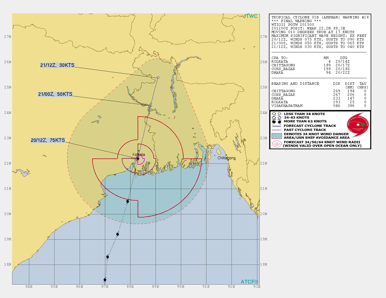
....MUCH MOREForecast for Amphan from the Joint Typhoon Warning Center as of 15Z (11 am EDT) Monday, May 18, 2020. Amphan is predicted by JTWC to make landfall as a Category 2 or 3 storm within several hours of 12Z Wednesday, which would be 5:30 pm Wednesday in Kolkata, India. (JTWC)Even as Amphan reached Category 5 strength, there were already signs of a potential eyewall replacement cycle brewing. Such a process would halt Amphan’s strengthening and perhaps weaken it slightly, although it would also tend to expand the cyclone's wind field. As it moves into the northern Bay of Bengal on Tuesday local time, wind shear will ramp up from around 10 knots to 20-25 knots, and the shear will inject somewhat drier air into the storm....
And some Tropical Cyclone History, also from Weather Underground's Category 6 blog, Friday May 15:
Tropical cyclone history of the Bay of Bengal

....MUCH MORE