From Fast Company. November 10:
Turmoil on Earth is remaking the business of watching it from above, as geopolitical conflict has the sector taking a page from Palantir, blending satellite images with AI and other data to deliver near-real time intelligence.

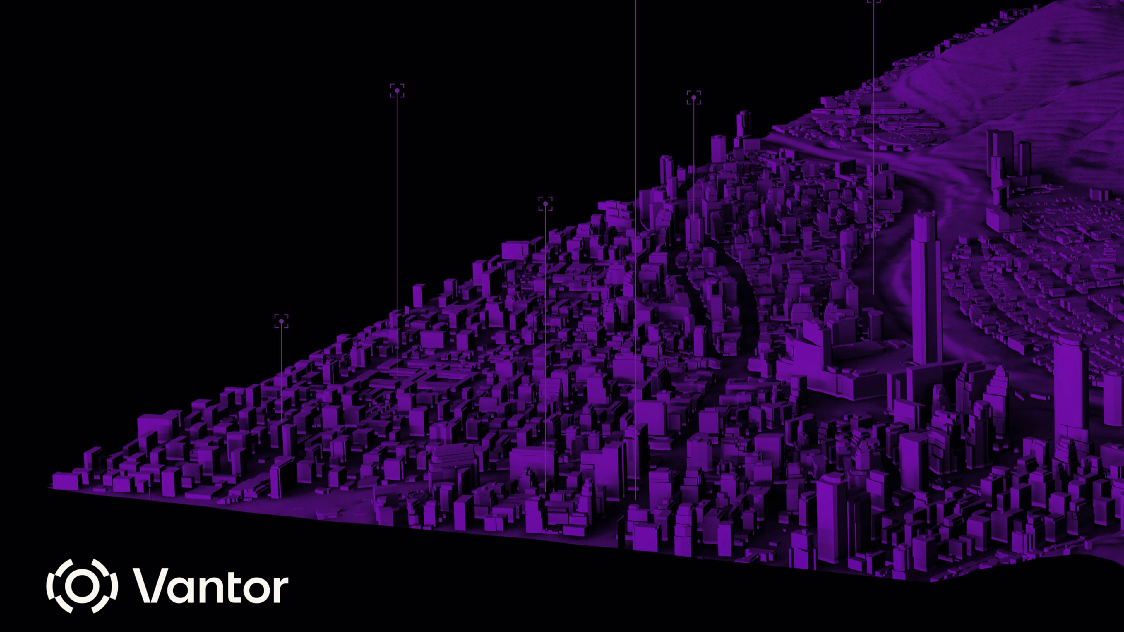
A 3D terrain model built with composite satellite imagery and data [Image: ©2025 Vantor]
If you’ve seen a bird’s-eye view of Earth over the past decade, chances are it came from Colorado-based Maxar Intelligence. From some 280 miles up, its powerful imaging satellites have created an atlas of modern problems: the impacts of extreme weather, the build-up of Russian tanks near the Ukrainian border, the ruination of Khartoum and the decimation of Gaza, even the not-so-total destruction of Iranian nuclear facilities by U.S. bombers.
What you may not have noticed: Last month, the Maxar brand was itself wiped out, after its private equity owner replaced it with a new moniker: Vantor.
The new name reflects how the company that sees everything on Earth now sees itself. Peter Wilczynski, Vantor’s chief product officer, points to “the harsh V, which gives it that edge.” The edginess extends to a slick new website, where fast-paced scenes on screens evoke Jason Bourne, or Alex Karp. But unlike Palantir, where Wilczynski spent a decade, or Anduril, a Vantor partner, the new name does not come from The Lord of the Rings, the touchstone for so many unabashed defense tech firms. Still, Wilczynski admits: “it could be Elvish.”
The Maxar makeover “reflects a broader crossroads for Earth observation,” says Jarkko Antila, the CEO of Kuva Space, a Finnish startup building a constellation of AI-equipped hyperspectral nanosatellites, capable of monitoring any material on the Earth’s surface. “Raw satellite imagery alone is less of a differentiator. Combining imagery with AI-powered analytics and sensor fusion to access real-time actionable intelligence is what customers demand.”
The hard-edged, tech-forward revamp isn’t just marketing. Maxar’s transformation reflects bigger shifts in the business of watching Earth. A new wave of military and intelligence demand has led the satellite industry to double down on government work or even enter the market for the first time. According to Novaspace, a consultancy, the data and services market for defense and intel customers grew by 42% over the past five years, reaching $2.2 billion in 2024. National security work now represents more than 65% of the whole earth observation data market.
Whereas imagery satellite companies once leaned into civic applications, the firms are increasingly turning to AI to rapidly analyze all kinds of space data, and sharpening their focus on national security amid turmoil here on Earth. “We’re experiencing growth across every region as customers respond to the changing geopolitical climate,” Wilczynski says. Vantor’s international business has grown by double digits this year to around 100 government and corporate customers, with the bulk of its contracts now with military and intelligence agencies, he adds....
....MUCH MORE
Previously:
- Bill Gates Backs Plan to Surveil the Entire Planet From Space "A New, Low-Cost Space Tech Is Set To Disrupt Everything From Commodities Trading To Telecommunications"
- "Using Satellites to Forecast Metals and Commodity Prices"
- "How satellites, drones, and planes are making hedge funds money"
- New Orwellian Hedge Fund Watches All The World's Shipping For Billionaires
- The Start-up That Watches Corn Grow, From Orbit
- Hedge Funds Using Satellites To Track Consumer, Infrastructure and Commodity Trends
- "Artificial Intelligence to reveal the biggest secret in oil"
- SpaceNet: Join NVIDIA; DGI, Amazon and CIA-Backed CosmiQ Works In Exploiting Publicly Available Satellite Imagery and Data (AMZN; DGI; NVDA; CIA)
- Hedge Funds: "The Tipping Point for Alternative Data"
- Amazon and the CIA Want to Teach Artificial Intelligence to Watch Us From Space (AMZN; NVDA)