A big one, no doubt, but closer to what the Japanese researchers call an El Niño Modoki than a straight up '98-style Super-Niño.
That has effects over in the Atlantic and thus on hurricanes, more next week.
From Artemis:
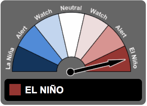
The current near-record El Niño event appears on the wane, with conditions attributed to the phenomenon said to be in decline, but its effects set to be felt for some time to come, with insurance and reinsurance firms now turning their heads to the possible development of La Niña conditions.
The forecasts last year were correct, that the 2015/16 El Niño would be stronger and last longer into 2016 than had initially been expected. Weather and climatic events such as the recent tropical moisture plumes causing near-record rainfall levels in California and the flooding experienced in the U.S. southern states in recent days are testament to the effects of the El Niño event.
Right now the world still faces an active El Niño, according to the Australian Government Bureau of Meteorology’s (BOM) latest update on ENSO. However the BOM sees the current El Niño continuing to weaken and says that climate models suggest the El Niño event will end around the middle of 2016.
The fact that the recent El Niño has been so strong has meant that its effects have been longer lasting. Some outlier climate models even suggest a continuation of El Niño conditions right through the year, but the majority call for its steady decline now.
For insurance and reinsurance companies, as well as some ILS funds, which have been hit by claims due to El Niño related weather conditions through the winter of 2015 and into 2016, all eyes turn towards the potential for La Niña conditions to emerge on the heels of a departing El Niño.
Probabilistic ENSO forecast from the International Research Institute for Climate and Society
La Niña is typically thought to herald more Atlantic tropical storm and hurricane activity, hence insurance and reinsurance companies, as well as investors in ILS funds, catastrophe bonds and other collateralised reinsurance vehicles, all need to keep abreast of the changing forecasts for the coming year.Here's the current plume of the various models' prediction from IRI at Columbia University:
The Australian BOM notes that “while some criteria have been met for a La Niña WATCH, there is still considerable variation between model outlooks beyond July.”...MORE
La Niña "conditions" begin at a half-degree below the zero line while a full blown La Niña is declared after three rolling three month periods (five consecutive months) below -0.5°C.