Hong Kong Braces for Category 3 Typhoon Usagi
Dangerous Category 3 Typhoon Usagi is charging through the Luzon Strait between Taiwan and the Philippines on its way towards China, where landfall is expected early Monday morning local time (near 2 pm EDT on Sunday) near Hong Hong. The typhoon battered the northern Philippine Batanes Islands overnight with wind gusts of up to 155 mph (250 kph), ripping down power lines and damaging crops, according to the South China Morning Post. Torrential rains of over a foot (305 mm) have fallen in 24 hours over eastern Taiwan, where Usagi's counterclockwise flow of moist air rode up over the high mountains of the island. Usagi reached its peak strength on Thursday, taking advantage of low wind shear and very warm waters 30°C with high heat content, to intensify to a Category 5 super typhoon with 160 mph winds. On Friday, Usagi began an eyewall replacement cycle that the typhoon is still attempting to complete. This process, where the inner eyewall collapses and a new, larger-diameter eyewall forms from an outer spiral band, typically causes a reduction in intensity by one Saffir-Simpson category, but spreads out the storm's hurricane-force winds over a larger area....MUCH MOREHere's the track forecast and 'cone of uncertainty', the yellow cat 1 symbol is just about over Hong Kong/Kowloon:
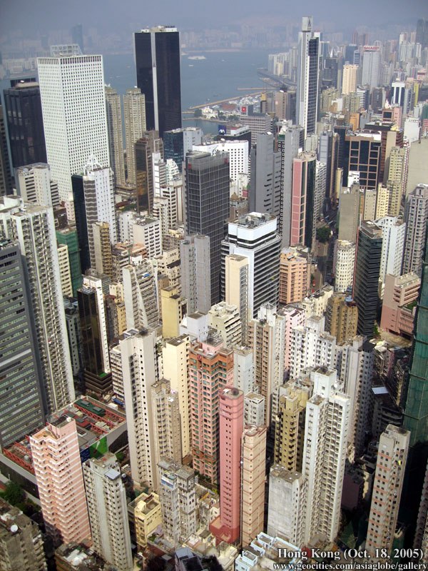
And why this is a bad thing. Hong Kong has more skyscrapers than any other city in the world.
That's a lot of glass: