First up, the world:
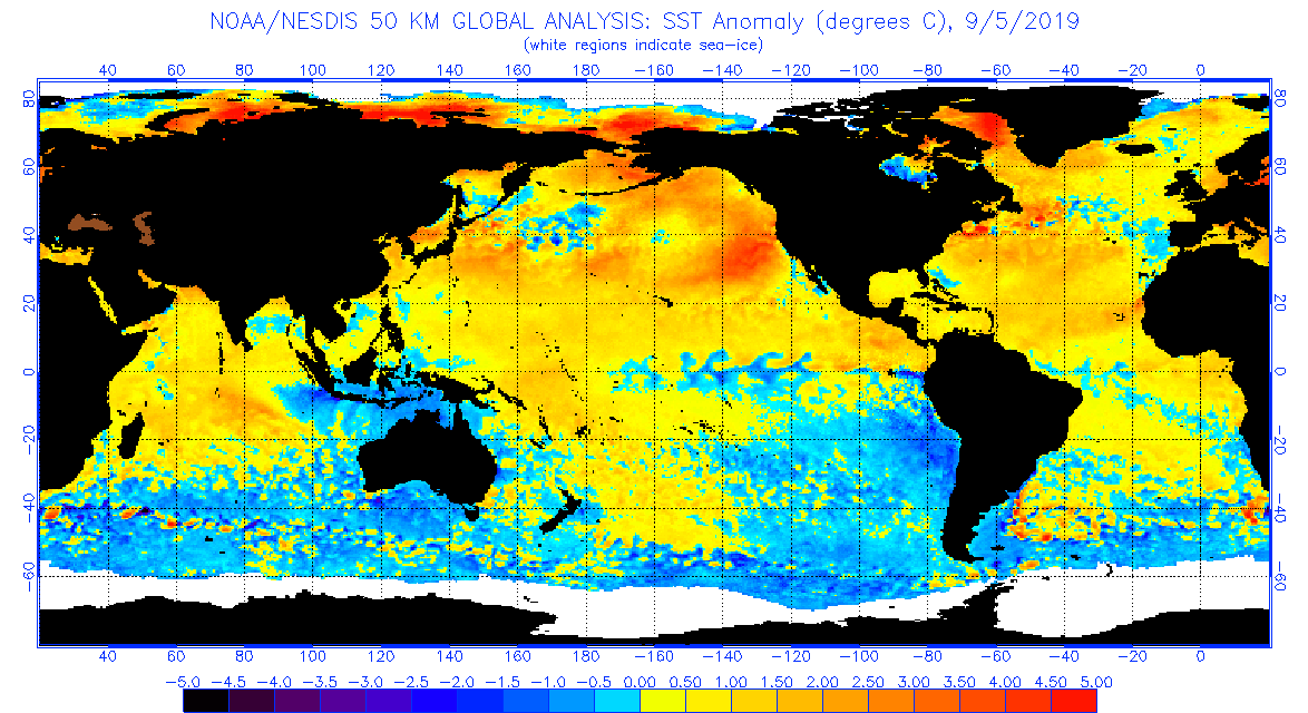
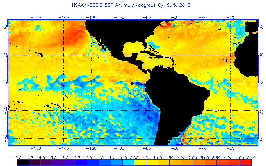
In the Pacific at the equator (off South America's bulge) conditions have definitely flipped to cooler Neutral/La Niña conditions (not yet a full-blown La Niña). In the Bering and Chukchi Seas the extremely warm (4 ° - 5 ° C above average) water looks set to return for a third consecutive winter. A new feature is a warm blob off Washington and Oregon, about which NOAA issued a press release a few days ago.
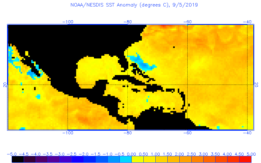
In the Atlantic you can see the colder water that Hurricane Dorian brought to the surface, which highlights one of the factors that led to the devastation of the Abaco and Grand Bahama islands: The storm stalled over very shallow water and so didn't draw up the deep water to cool the monster heat engine.
Finally, back to the top map, the Northern Sea Route is completely ice free from Kamchatka all the way west past northern Norway:
And based on the volume chart, the less interesting extent (volume being thickness x extent) may not have turned the corner yet:

It is the Bering Sea hotspot that is most troubling as a failure to build ice there allows polar storms to run all the way across the Arctic and push ice out through the Fram Strait between Greenland and Svalbard, adding a huge mechanical factor to straight-up melting of the Arctic ice.
And finally, from NOAA Fisheries:
New Marine Heatwave Emerges off West Coast, Resembles "the Blob"
I think "Heatwave" is relatively new terminology, I don't recall seeing it before about 2014.