Two approaches to the same story, 15 years apart. First up, 99% Invisible, 2019:
Flattening Mountains: The Complex & Creative Art of Ski Area Cartography
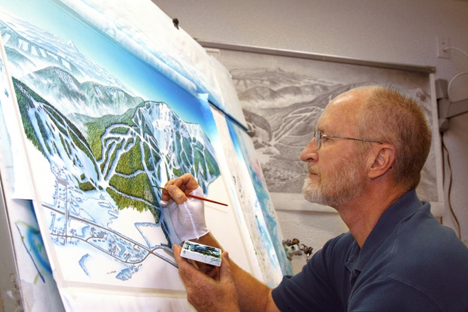
Ski maps around the world have a similar aesthetic and common set of usability design tricks, in no small part because hundreds of them were painted by the same person. James Niehues has been illustrating ski mountains and other destinations since the late 1980s, since the previous master of this niche trade began training him in the art. Over those decades, he has drawn hundreds of locations around the world.And from Cabinet Magazine, 2004
Anyone who has taken a train or ridden the subway is familiar with the distortions of direction and distance necessary to make transit maps legible — stops may look evenly spaced and routes may appear to run parallel, all to help users navigate more easily.
Ski trails require a similar shift in adapting reality into representation, but in many ways the design challenge is even more complex, involving three-dimensional topography. Resorts weaving up between and behind mountains must be carefully flattened out into an illustration a skier can fold up and tuck into the pocket of their jacket or snow pants.....MUCH MORE
En Piste: An Interview with James Niehues
The art of the ski-area map
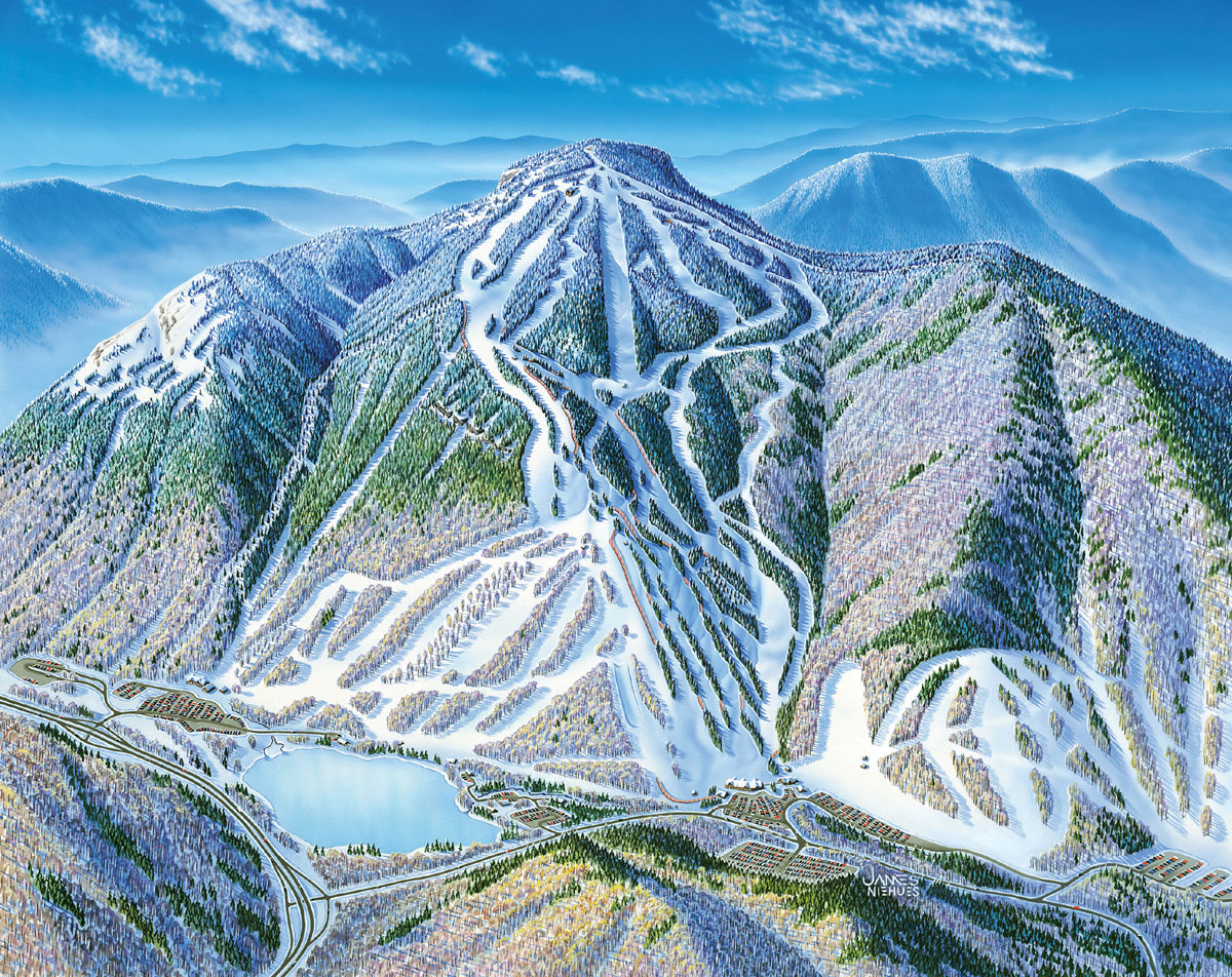
Cannon Mountain, New Hampshire.
James Niehues is the unheralded doyen of the ski-area trail map, having established a near-monopoly on the genre by producing 120 of them over the last 20 years for resorts in Australia, Austria, and the United States. Niehues’s masterly panoramas marry topographical verisimilitude and effective presentation of copious amounts of information in intricately painted landscapes, all translated to 4 x 9" folded maps available to everyone who buys a lift ticket. The maps provide transportable, easy-to-use, and eminently practical guides for skiers and snowboarders, who are often in unfamiliar territory. The mountain itself, lifts, lodges, boundary lines, and the runs and their difficulty factor are all delineated with utmost precision. Almost certainly unaware of Niehues’s role, ski-area visitors use a trail map to navigate the varied terrain of snow, trees, valleys and peaks not easily comprehensible from their location on the ground. Like a road or subway map for an unfamiliar city, these handy images help visitors cognitively place themselves and move around in often disorienting spatial dimensions. Making that possible (and doing it with a minimum of recognition) is James Niehues’s job and métier.
...MUCH MORE