Expected average tropical cyclone activity in the north Atlantic by month. (NOAA)
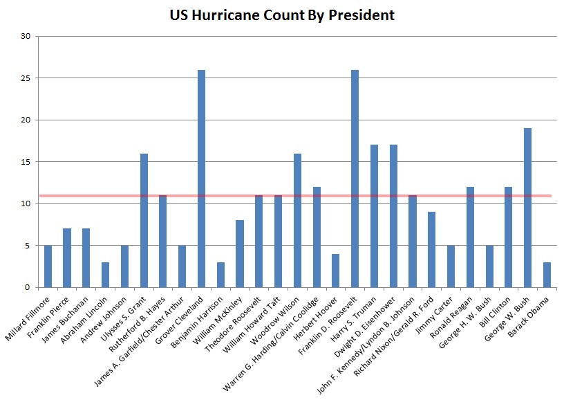
It’s been a slow hurricane season so far this year, but things might be heating up in the tropics, with one active hurricane and three areas to watch over the coming days.Actually, if you measure either strong (Cat 3 or above) or landfalling hurricanes, the decade since Katrina has been remarkably quiet and especially since 2008 when then-Senator Obama said at the end of his Democratic nomination victory speech:
So far, 2014 has seen only three named storms, including Hurricane Cristobal, and another tropical depression that really isn’t worth mentioning. While the rest of the Northern Hemisphere is running 121 percent above average in accumulated cyclone energy, the Atlantic has only seen 70 percent of its average activity so far this year.
But August and September are typically the months when Atlantic hurricane activity tends to go into overdrive, as the number of tropical waves coming off the coast of Africa increases. Sea surface temperature also reaches its peak in September, and wind shear, which is detrimental to hurricanes, is relatively low. Technically, September 10 is the average peak of hurricane season in the Atlantic....MUCH MORE
"...this was the moment when the rise of the oceans began to slow and our planet began to heal..."
